
Imajen:Administrative map of the Ainaro district of East Timor.png

Dimensões desta antevisão: 409 × 600 píxeis. Outras resoluções: 163 × 240 píxeis | 327 × 480 píxeis | 523 × 768 píxeis | 1 215 × 1 782 píxeis.
Fixeiru original (1 215 × 1 782 píxeis, tamanho: 276 KB, tipo MIME: image/png)
| Descrição |
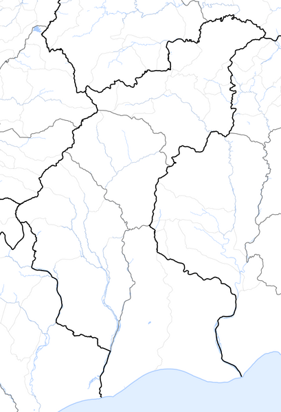
Deutsch: Verwaltungskarte des Distrikts Ainaro in Osttimor
English: Administrative map of the Ainaro district of East Timor |
| Tempu | |
| Origem | Self made, using informations from theTimor-Leste GIS Portal |
| Autór | Maximilian Dörrbecker (Chumwa) |
| Permissão (Reutilizar este ficheiro) |
Eu, titular dos direitos de autor desta obra, publico-a com a seguinte licença: A utilização deste ficheiro é regulada nos termos da licença Creative Commons - Atribuição-CompartilhaIgual 2.5 Genérica.
Sie dürfen das Bild zu den folgenden Bedingungen nutzen:
|
Histórico do ficheiro
Clique uma data e hora para ver o ficheiro tal como ele se encontrava nessa altura.
| Loron/Tempu | Miniatura | Dimensões | Uza-na'in | Komentáriu | |
|---|---|---|---|---|---|
| atuál | 06h06min de 19 de Setembru de 2009 | | 1 215 × 1 782 (276 KB) | Chumwa | {{Information |Description= {{ de }} Verwaltungskarte des Distrikts Ainaro in Osttimor {{ en }} Administrative map of the Ainaro district of East Timor |Source=Self made, using informations from the[http://websig.civil.ist.utl.pt/timorgis Timor-Leste GIS |
Pájina iha ne'ebá fixeiru ne'e
Não há nenhuma página que use este ficheiro.